

GIS Solutions Built for the Real World
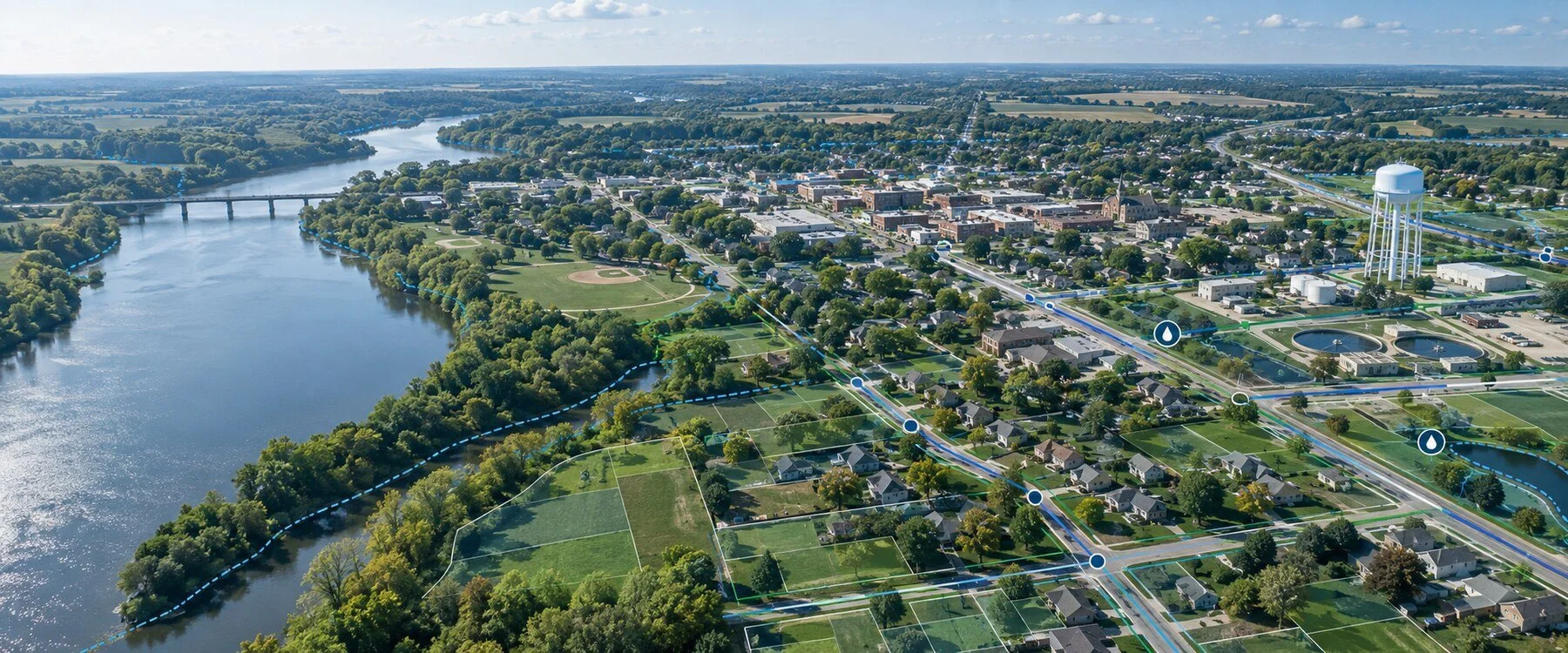
Helping cities, counties, utilities, and public safety agencies turn GIS into a practical tool for managing infrastructure, field operations, and critical data.
NG911 • Water & Wastewater • Stormwater/MS4 • GPS Asset Mapping • ArcGIS Solutions
GIS Services
Practical systems built for cities, counties, utilities, 911 centers, and engineering teams.
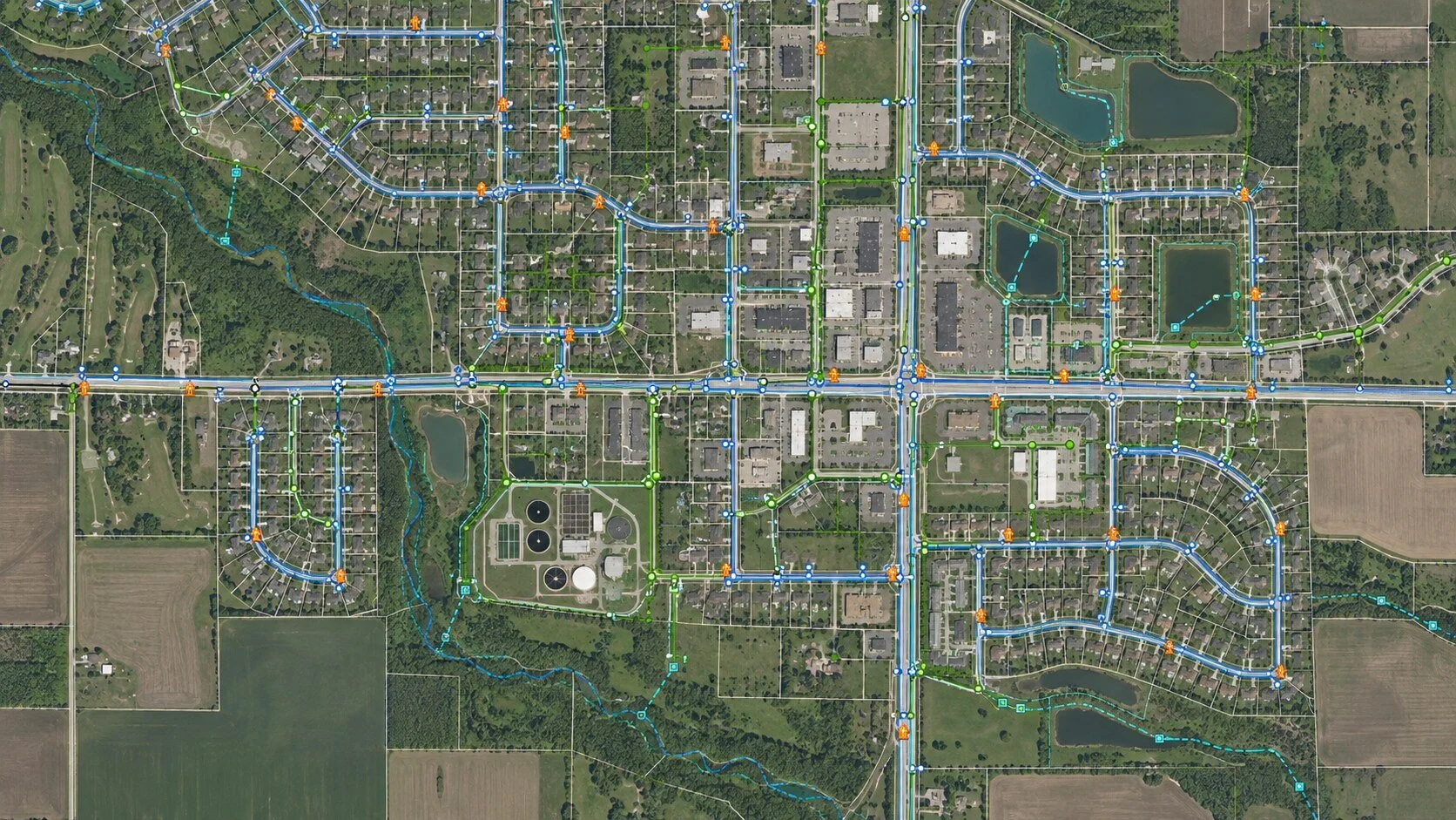
Utility GIS & Asset Management — Water, wastewater, electric, valves, hydrants, meters, CCTV, and work orders.
NG911 & Public Safety GIS — Addressing, road centerlines, MSAG/ALI remediation, validation, and CAD-ready data.
Stormwater & MS4 — Outfall inventories, inspections, compliance workflows, dashboards, and reporting.
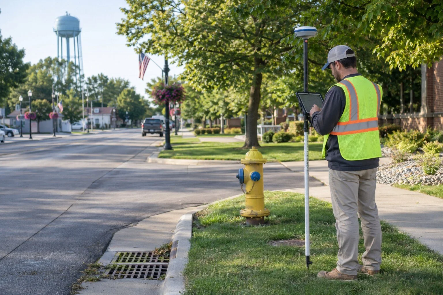
GPS & Field Data Collection — Survey-grade GPS, Field Maps, Survey123, QuickCapture, and field training.
ArcGIS Implementation & Support — ArcGIS Online, Enterprise, Experience Builder, Dashboards, migrations, and automation.
Featured GIS Projects


Have a GIS project in mind?
Whether you’re starting a GIS program, cleaning up existing data, mapping infrastructure, or trying to get more out of ArcGIS, we’d be glad to talk through what you’re trying to accomplish.